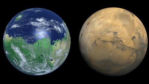
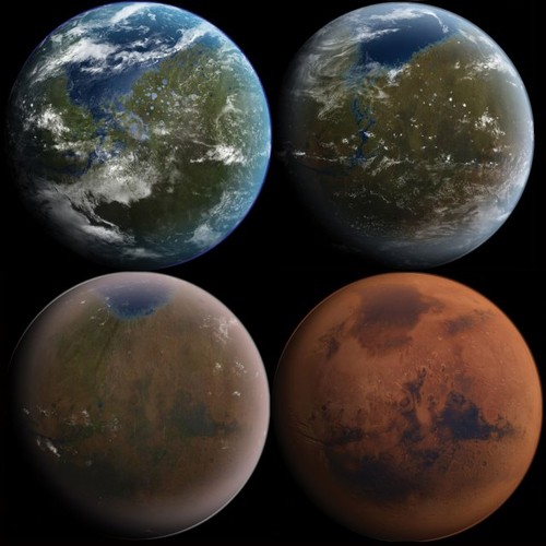
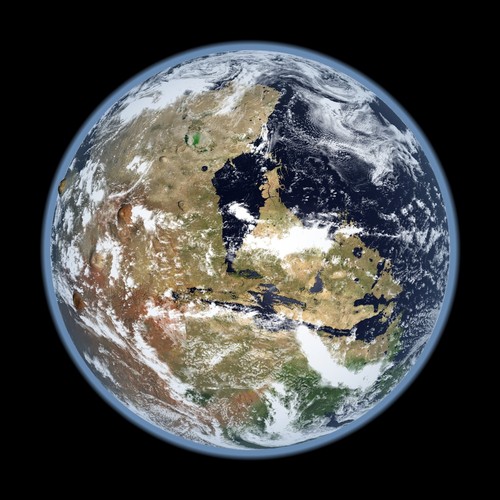
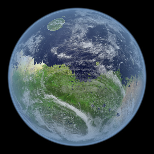
Blue Mars – A Day In The Life Of A Living Mars by Kevin Gill (+VIDEO)

“Generated using data from the Mars Orbiter Laser Altimeter aboard the Mars Global Surveyor spacecraft and satellite imagery from the Blue Marble Next Generation project. Sea level was set non-scientifically, but such that it would flood much of Valles Marineris as well as provide shoreline near the top of the cliffs on the outer edges of Olympus Mons. The clouds are straight from NASA’s Blue Marble NG project and height mapped (rather arbitrarily, but looks good) by relative opacity (The more opaque a point, the higher up in the atmosphere I put it). The main texture was “painted” in GIMP over a two dimensional DEM I had done using MOLA elevation data from the Mars Global Surveyor. This was rendered using a digital elevation modeling program I am writing, jDem846, with some extras baked in through it’s scripting interface, and encoded to video with ffmpeg.”
Kevin Gill’s Google+
| Tweet |


